Product · Subscription
Watch.
Independent ground and structural monitoring, every quarter.
Request a baseline studyWhat you get
- Quarterly InSAR deformation reports per site, full surface, millimetre scale
- Built on LITHOS and open European archives, reproducible by any third party
- Evidence formatted for boards, insurers and GISTM-aligned governance.
How it runs
Subscription per site. Applies to land-based assets: dams, repositories, terminals, quays, refineries, plant foundations. Satellite InSAR does not measure floating offshore installations; land-based infrastructure is where it excels.
Terms: Subscription, cancel at period end, method and data reproducible by any third party.
Start with a baseline study.
A fixed-fee, fixed-duration engagement with a defined deliverable. Bring one concrete problem in your operations or your data, and leave with a result you can act on.
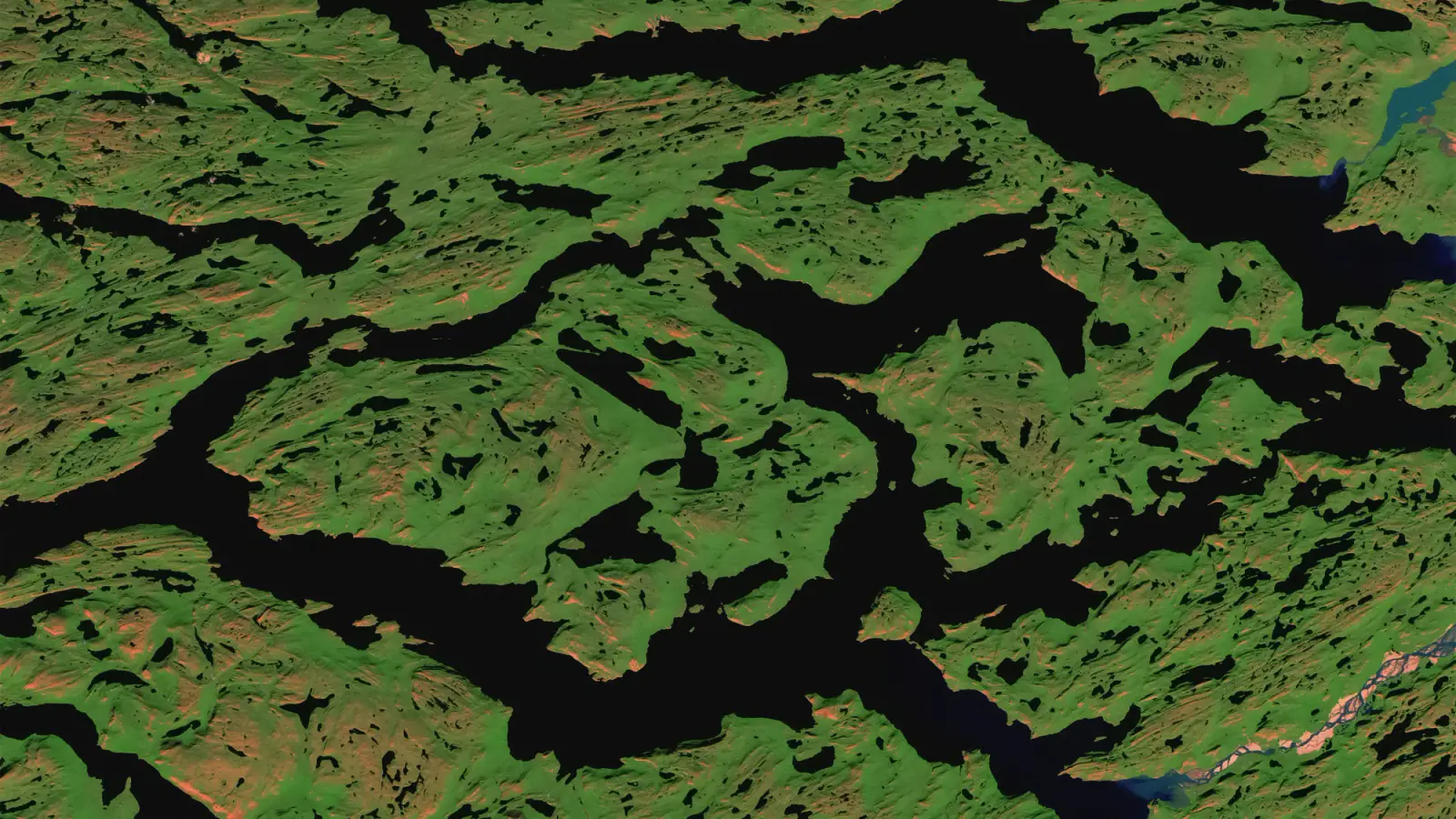 Contains modified Copernicus Sentinel data. Sentinel-2 cloudless by EOX (CC BY 4.0)