Independent movement from open satellite archives.
Request a baseline studyStability monitoring usually depends on instrumentation chosen, installed and operated by the site owner. It covers the points someone decided to measure, and nothing else. Boards, insurers and regulators increasingly ask for evidence that does not come from the operator.
LITHOS retrieves and processes public InSAR archives, EGMS and LiCSAR, into millimetre-scale deformation time series across the whole surface and the terrain around it. The code is open (Apache 2.0), published on PyPI, so method and result can be reprocessed by any third party. The auditability is the point.
Published, installable software built on European InSAR infrastructure with millimetre precision and continental coverage. Years of deformation history available from day one, without deploying a single sensor.
For dams, repositories and heavy foundations, independence is the requirement, not a nice-to-have. This is a second layer beside your instruments that nobody can accuse of marking its own homework.
Start with a baseline study.
A fixed-fee, fixed-duration engagement with a defined deliverable. Bring one concrete problem in your operations or your data, and leave with a result you can act on.
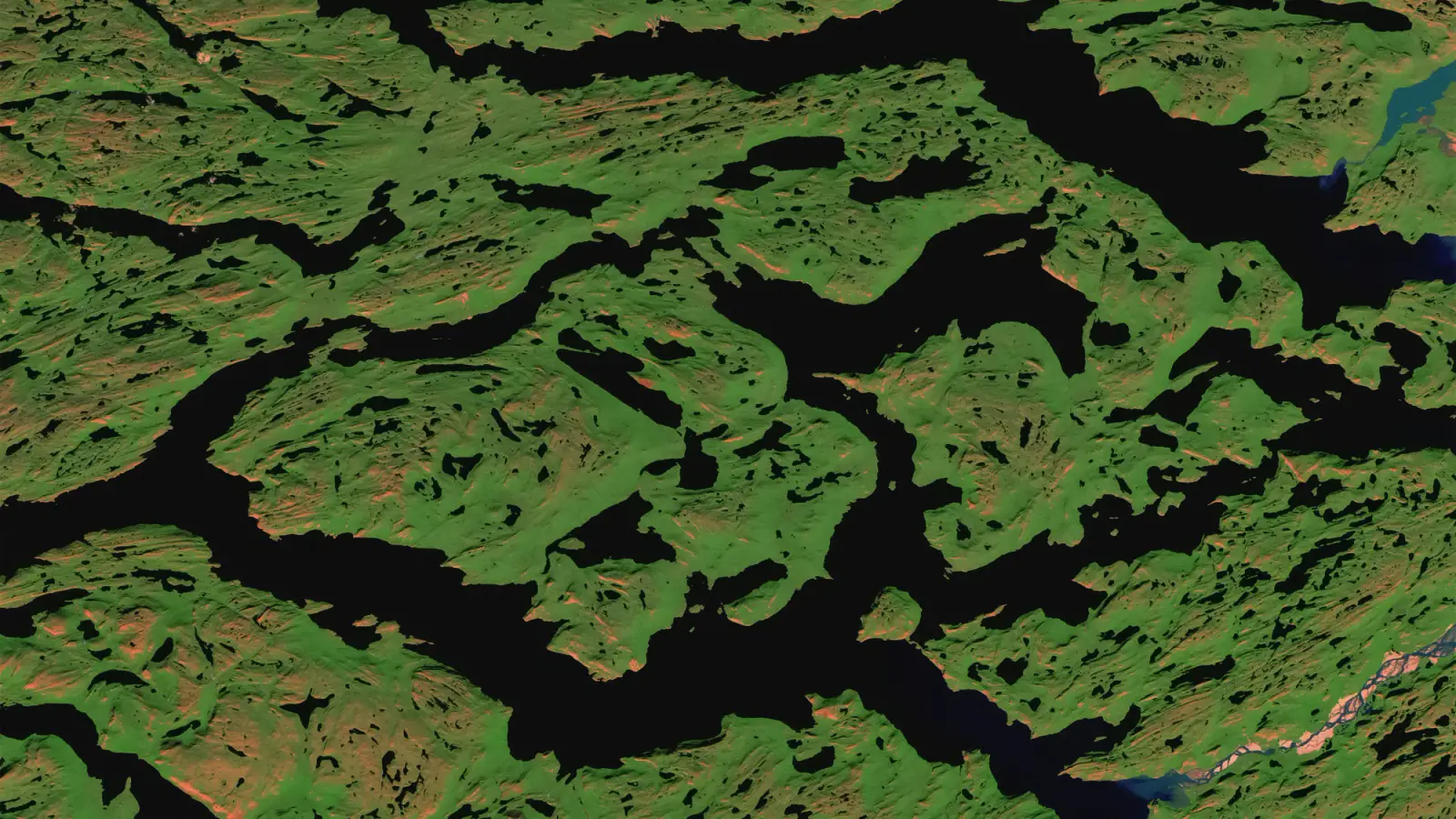 Contains modified Copernicus Sentinel data. Sentinel-2 cloudless by EOX (CC BY 4.0)